Blizzard warnings posted from Colorado to Minnesota


Blizzard warnings were posted from Colorado to Minnesota on Wednesday and wildfires were a concern in New Mexico, Texas and Oklahoma as a storm developed that could rival last month’s devastating bomb cyclone.
Up to 2 ½ feet (0.61 meters) of snow was expected to fall in parts of eastern South Dakota and southwestern Minnesota, the National Weather Service said. Winds in excess of 50 mph (80.46 kph) also were expected, creating life-threatening conditions.
“We’re calling it historic because of the widespread heavy snow. We will set some records,” said Mike Connelly, a weather service meteorologist in Aberdeen, South Dakota.
Snow was already falling at a rate of up to 2 inches (5.08 centimeters) per hour in northeastern South Dakota and southwestern Minnesota early Wednesday, with the brunt of the storm not expected until Thursday. An unusual but not rare weather phenomenon known as “thunder snow” — snow accompanied by thunder and lightning — was reported in central South Dakota.
“It’s essentially a thunderstorm, but it’s cold enough for snow,” Connelly said.
South Dakota Gov. Kristi Noem closed state government offices in 52 counties. Numerous schools around the state closed, along with several Black Hills National Forest offices in western South Dakota and eastern Wyoming. Minnesota Gov. Tim Walz said “the National Guard stands ready” to rescue any stranded motorists.
The looming spring blizzard in the Rockies was impacting everything from flights to school classes to baseball.
About 40 percent of Denver International Airport’s daily flights Wednesday were scratched. Major League Baseball’s Colorado Rockies postponed an afternoon game against the Atlanta Braves until August. A few school districts in Colorado and Wyoming canceled classes, while others opted for a shortened day and canceled evening activities.
Strong winds associated with the weather system were creating dangerous wildfire and travel conditions in New Mexico, Texas and Oklahoma. The weather service issued a high wind warning for the Texas and Oklahoma panhandles.
Winds in excess of 50 mph (80.46 kph) were combining with low humidity and an unstable atmosphere to create critical fire conditions in the three states. Forecasters in New Mexico said the winds also would make travel difficult on north-south oriented roads such as Interstate 25. In southern New Mexico, the U.S. Army’s White Sands Missile Range closed Wednesday because of the high winds.
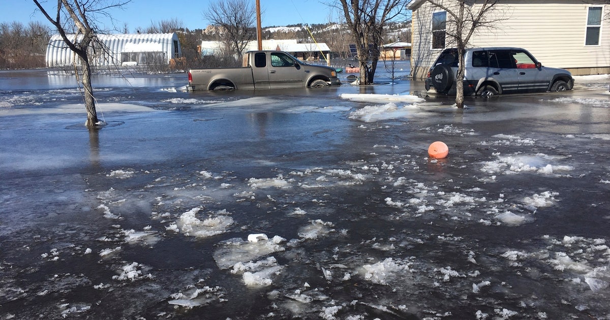
The storm was expected to rival last month’s “bomb cyclone” — an unusual weather phenomenon in which air pressure drops rapidly and a storm strengthens explosively. Last month’s storm dropped heavy snow and led to massive flooding in the Midwest that caused billions of dollars in damage in Nebraska, Missouri, Iowa and South Dakota.
Forecasters said this week’s storm will swell rivers again, though likely not to the levels seen last month due to the absence of a wet snowpack on frozen ground this time around.
“We’re not out of the woods,” Walz said.
Even moderate rises in the Missouri River will push more water into drenched Fremont County in southwestern Iowa, Emergency Manager Mike Crecelius said. Last month’s flooding swamped 455 houses and thousands of acres of farmland in his region.
“The problem is that we’re not getting any time for the water to recede and things to dry out, so the levees can’t be fixed; houses can’t be fixed; crops can’t be planted,” he said. “And the last spring forecast I saw does not look favorable for us at all. It looks to be a very wet spring.”


